 CalmBeach Greece
.jpg&width=1200)
Sandy
Sandy beaches in Messinia
30 sandy beaches in Messinia: with sand underfoot rather than pebbles. Check live wind & waves for each beach on CalmBeach before you go.
- 30beaches
- 18organized
- 13with photos
Looking for sand rather than pebbles in Messinia? These 30 beaches are recorded as sandy, so they are easier on bare feet and better for children playing. Check wind and waves in CalmBeach before you go.
The beaches
-
Vidokilia
The perfect Ω-shaped bay — It forms a near-perfect Ω-shaped (omega) semicircular bay ("ox-belly", hence the name), with golden fine sand and shallow…
-
Stoupa
A family beach with a "Zorba" link — Two main sandy beaches (Stoupa and nearby Kalogria) with fine sand and shallow, gentle water — well suited to families…
-
.jpg&width=400) Kalogria
KalogriaKalogria, in Zorba's footsteps — Kalogria unfolds at Stoupa, in the Messinian Mani, a beach of fine sand at the foot of Mount Taygetos. It is the best known and most organized shore…
-
 Divari
Divari, the Golden Beach — Divari, also known as the Golden Beach, stretches along the Bay of Navarino near Gialova, a long sandy beach that reaches 4 kilometres. It separates…
-
 Lagkouvardos
Lagouvardos, the surfers' beach — Lagouvardos is a large sandy beach near Marathopoli, on the Kyparissia Gulf of Messinia. It stretches for about two kilometres of sand…
-
Lampes
Lampes, between Methoni and Finikounda — Lampes is a sandy beach on the road between Methoni and Finikounda, in southern Messinia. It is one of the first shores you come across driving…
-
Peroulia
Peroulia — Peroulia lies in western Messinia, a few kilometres north of Koroni and close to the village of Vounaria. It is a broad stretch of sand about 1…
-
Mavrovouni
Mavrovouni — Mavrovouni, also known as Anemomilos, is a large sandy beach west of Finikounda in Messinia. It runs for a considerable length…
-
 Tsapi
TsapiTsapi — Tsapi is a small, secluded cove in southern Messinia, in the area of Chrysokellaria, between Koroni and Methoni. It has soft sand, fine and coarse…
-

-
Romanos
Dunes and turtles at Costa Navarino — A 1km+ sandy, dune-backed beach, part of Costa Navarino — partly undeveloped, partly served by resort beach clubs and watersports.
-

-

-

-

-

-
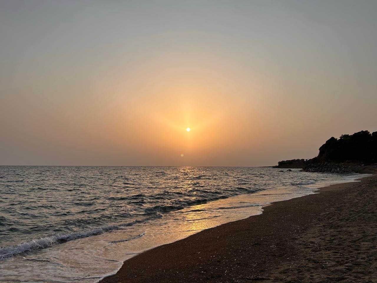
Photo: Julie N. -

-
.jpeg&width=400)
Photo credits
- Kalogria: Angelo Pantazis angepant06, CC0
- Divari: Theodoros Alexandropoulos, CC BY-SA 4.0
- Lagkouvardos: Zoizimono, CC BY-SA 4.0
- Tsapi: Francesco Boggia, CC BY 3.0
- Zagka: Kris Sliver, CC BY-SA 3.0
- Paralia Methonis: C messier, CC BY-SA 4.0
- Agia Triada: Rauenstein, CC BY-SA 2.0
- Chelonaria: Jack globetrotter, CC BY-SA 3.0
- Loutsa: Klaus Wessel, CC BY 2.0
- Lachanou: Rauenstein, CC BY-SA 3.0
- Mati: Julie N.
- Petrochori: darkobajic, CC BY 3.0
- Oasi: Rawflesh Edo Pokorny, CC BY-SA 3.0
Good to know
Which beaches in Messinia are sandy?
The beaches listed here are recorded as sand rather than pebbles or rock. Shorelines shift with storms and seasons, so the mix can change from year to year.
Does sand mean shallow water?
Not always. Sand describes the shore, not the depth — some sandy beaches drop away quickly. Open a beach to see its recorded depth, and check live wind and waves before you swim.
When is the sea calmest here?
Across 30 of the beaches on this page, the open water in front of them is typically 0.57 m in June, 0.59 m in July and 0.55 m in August when the meltemi is at its strongest, and 0.58 m in September. August is the calmest month of the season. We calculate these figures ourselves from European Copernicus wave-model data at 4.2 km resolution. They describe the sea offshore, not the shelter of an individual cove — a bay protected by a headland will usually be calmer than this.
How warm is the water, month by month?
Off 30 of the beaches on this page the sea is typically 18.9 °C in May, 22.3 °C in June, 25.1 °C in July, 26.6 °C in August and 25.6 °C in September — ideal at the height of summer, mild in June. In October it is still 23.6 °C — warmer than June. August is the warmest month. Satellite measurements, 1995–2024, from a sea cell about 5 km offshore; shallow bays usually run warmer than this.
Wind and waves change every day. See live conditions for any of these beaches before you drive out.
Open the live map →