 CalmBeach Greece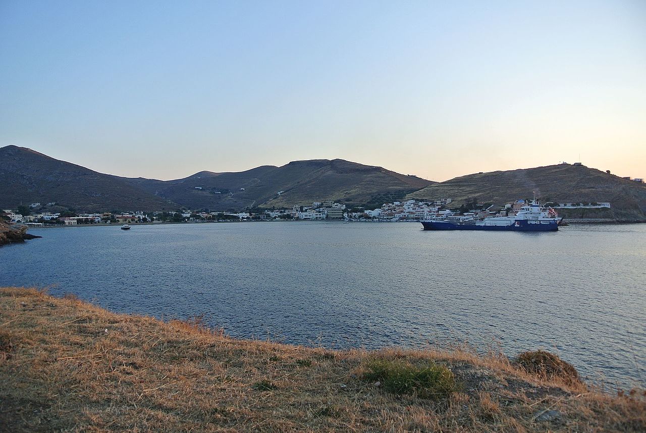
Organized
Organized beaches in Kea
6 organized beaches in Kea: with sunbeds, umbrellas and facilities. Check live wind & waves for each beach on CalmBeach before you go.
- 6beaches
- 6organized
- 3with photos
Prefer sunbeds, umbrellas and a beach bar in Kea? These 6 organized beaches usually have facilities and easier access. Check wind and waves in CalmBeach before you go.
The beaches
-
Koundouros
Koundouros: the sandy bay of the windmills — Koundouros stretches along the southwestern coast of Kea (Tzia), a wide sandy bay of fine and coarse sand dotted with the island's characteristic…
-
Xyla
Xyla: the beach that took its name from the sea — Xyla lies on the western side of Kea (Tzia), a few kilometres south of Korissia, a beach of fine and coarse sand in a relatively out-of-the-way…
-
 Otzias
The island’s largest beach — Easy paved access; partly organized (free ends, sunbeds in the middle, tavernas behind). An ancient harbour once stood here.
-
Pisses
Dark sand and the only campsite — Dark sand mixed with pebbles, clear water, a wide open beach at the mouth of a lush valley of fruit and cypress trees. It is named after the ancient…
-

-
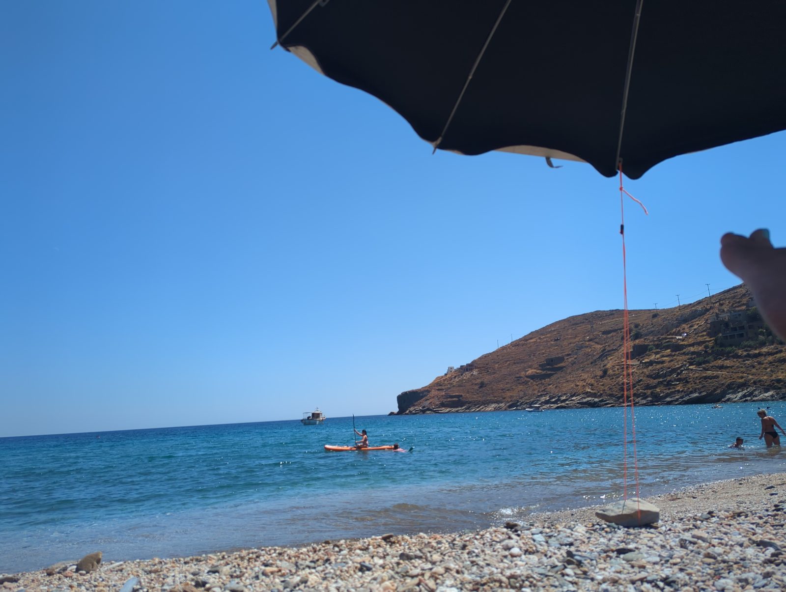
Photo: from a visitor SpathiNow road-accessible (formerly path/boat only); moderately organized, with a beachfront restaurant/bar. Quiet on weekdays.
Photo credits
- Otzias: C messier, CC BY-SA 3.0
- Spathi: from a visitor
Good to know
Which beaches in Kea are organized?
The beaches listed here are marked as organized, usually with sunbeds, umbrellas and food or a beach bar nearby. Facilities can change by season, so confirm locally.
Are organized beaches less windy?
Not necessarily. Facilities do not change the wind or waves — check live conditions in the app and compare less exposed beaches on windy days.
When is the sea calmest here?
Across 6 of the beaches on this page, the open water in front of them is typically 0.63 m in June, 0.74 m in July and 0.77 m in August when the meltemi is at its strongest, and 0.72 m in September. June is the calmest month of the season. We calculate these figures ourselves from European Copernicus wave-model data at 4.2 km resolution. They describe the sea offshore, not the shelter of an individual cove — a bay protected by a headland will usually be calmer than this.
How warm is the water, month by month?
Off 6 of the beaches on this page the sea is typically 18.4 °C in May, 22.0 °C in June, 24.5 °C in July, 25.4 °C in August and 24.7 °C in September — ideal at the height of summer, mild in June. By October it is 22.3 °C. August is the warmest month. Satellite measurements, 1995–2024, from a sea cell about 5 km offshore; shallow bays usually run warmer than this.
Wind and waves change every day. See live conditions for any of these beaches before you drive out.
Open the live map →