 CalmBeach Greece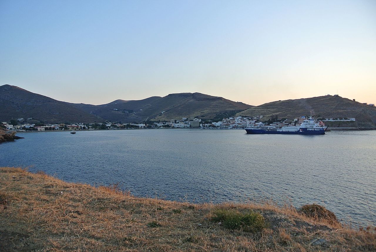
Family beaches
Family beaches in Kea
6 shallow, organised beaches in Kea: all with easy access, picked for young children. Check live wind & waves for each beach on CalmBeach before you go.
- 6beaches
- 6organized
- 3with photos
Travelling with young children in Kea? We picked these 6 beaches because they are organised, not hard to reach, and recorded as shallow. How quickly the water deepens varies from beach to beach, so check wind and waves in CalmBeach before you go.
The beaches
-
Koundouros
Koundouros: the sandy bay of the windmills — Koundouros stretches along the southwestern coast of Kea (Tzia), a wide sandy bay of fine and coarse sand dotted with the island's characteristic…
-
Xyla
Xyla: the beach that took its name from the sea — Xyla lies on the western side of Kea (Tzia), a few kilometres south of Korissia, a beach of fine and coarse sand in a relatively out-of-the-way…
-
 Otzias
The island’s largest beach — Easy paved access; partly organized (free ends, sunbeds in the middle, tavernas behind). An ancient harbour once stood here.
-
Pisses
Dark sand and the only campsite — Dark sand mixed with pebbles, clear water, a wide open beach at the mouth of a lush valley of fruit and cypress trees. It is named after the ancient…
-

-
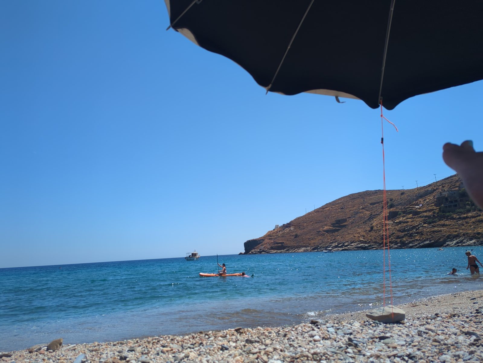
Photo: from a visitor SpathiNow road-accessible (formerly path/boat only); moderately organized, with a beachfront restaurant/bar. Quiet on weekdays.
Photo credits
- Otzias: C messier, CC BY-SA 3.0
- Spathi: from a visitor
Good to know
Which beaches in Kea are family-friendly?
Every beach on this list meets three criteria: it is organised, it has no difficult access, and our data records its water as shallow. How fast the seabed drops away underfoot is not something any map can guarantee — for small children, pick a calm, sheltered day as well.
How do I compare sea conditions?
CalmBeach checks wind, waves and exposure, so you can compare less exposed beaches and more comfortable visiting times.
When is the sea calmest here?
Across 6 of the beaches on this page, the open water in front of them is typically 0.63 m in June, 0.74 m in July and 0.77 m in August when the meltemi is at its strongest, and 0.72 m in September. June is the calmest month of the season. We calculate these figures ourselves from European Copernicus wave-model data at 4.2 km resolution. They describe the sea offshore, not the shelter of an individual cove — a bay protected by a headland will usually be calmer than this.
How warm is the water, month by month?
Off 6 of the beaches on this page the sea is typically 18.4 °C in May, 22.0 °C in June, 24.5 °C in July, 25.4 °C in August and 24.7 °C in September — ideal at the height of summer, mild in June. By October it is 22.3 °C. August is the warmest month. Satellite measurements, 1995–2024, from a sea cell about 5 km offshore; shallow bays usually run warmer than this.
Wind and waves change every day. See live conditions for any of these beaches before you drive out.
Open the live map →