 CalmBeach Greece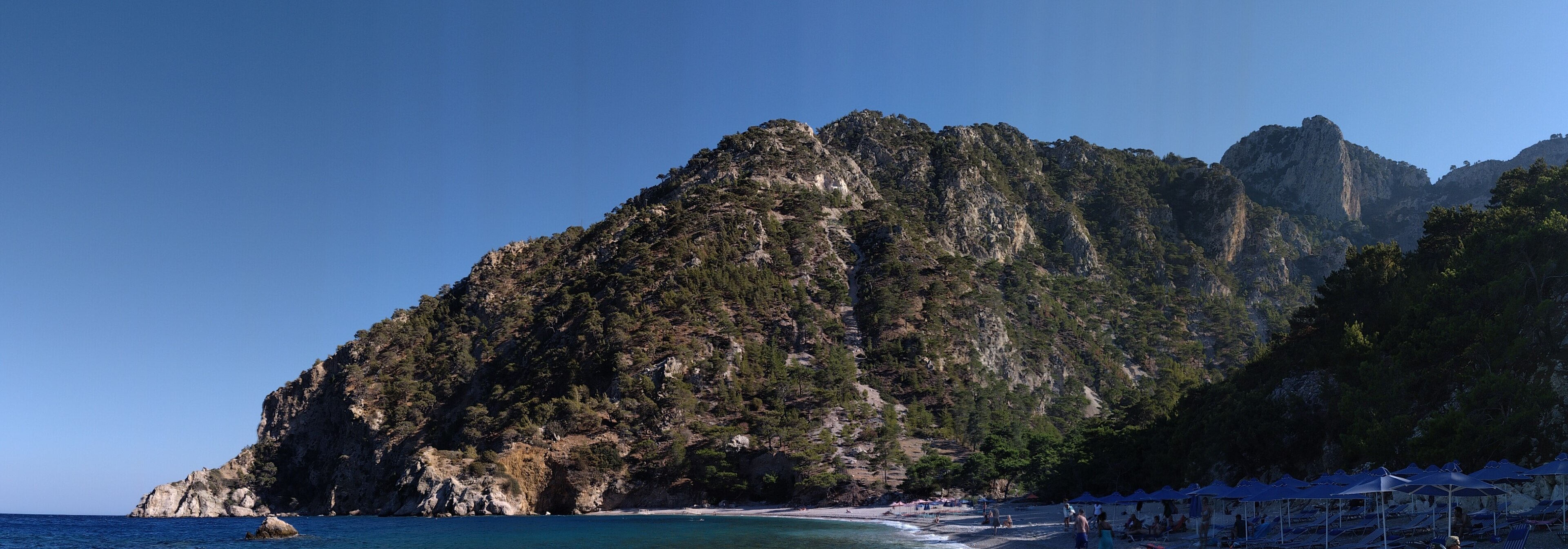
Snorkeling
Snorkeling beaches in Karpathos
27 snorkeling beaches in Karpathos: with clearer water and rocky seabed. Check live wind & waves for each beach on CalmBeach before you go.
- 27beaches
- 7organized
- 6with photos
Want clear water and rocks to explore in Karpathos? These 27 beaches are good for snorkeling, usually with clearer water and a rocky or mixed seabed. Visibility is often better on low-wind days — check wind and waves in CalmBeach first.
The beaches
The order is not random: rockier seabeds first, and among those the ones whose orientation leaves them less exposed — that is where the water tends to stay clearest. Check conditions before you go.
-

-

-
Kipos Michaliou
A small cove with fossils — A very small cove of fine golden and coarse sand, with pebbles and rocks in the water (entry needs care). It is rimmed by sandstone walls embedded…
-

-

-

-

Photo credits
- Limani Panagias: Ввласенко, CC BY-SA 3.0
- Paralia Diakoftis: Mitakidis Vangelis / Mitak at Greek Wikipedia, CC BY-SA 3.0 gr
- Kato Lakkos: DiDelv, CC BY-SA 4.0
- Tis Perdikas Potamos: Ввласенко, CC BY-SA 3.0
- Vathia: Bukvoed, CC BY 4.0
- Palatia: Theseas007, CC BY-SA 4.0
Good to know
Where do I snorkel when the north wind blows?
9 of the beaches listed here face away from all three northerly directions, based on their orientation: Limani Panagias, Paralia Diakoftis, Kipos Michaliou and 6 more on this page. That usually means less chop and better visibility while the Meltemi is up — orientation is a strong hint, not a promise, so check wind and waves before you go.
Which beaches in Karpathos are good for snorkeling?
The beaches listed here have rockier seabed and clearer water, where you are more likely to see fish and underwater life. Conditions vary, so check the forecast before you go.
When is snorkeling more comfortable?
Snorkel close to shore when conditions are mild and avoid strong wind, waves or currents. Check live wind and waves in the app and follow any local flags.
When is the sea calmest here?
Across 27 of the beaches on this page, the open water in front of them is typically 0.79 m in June, 0.89 m in July and 0.85 m in August when the meltemi is at its strongest, and 0.81 m in September. June is the calmest month of the season. We calculate these figures ourselves from European Copernicus wave-model data at 4.2 km resolution. They describe the sea offshore, not the shelter of an individual cove — a bay protected by a headland will usually be calmer than this.
How warm is the water, month by month?
Off 27 of the beaches on this page the sea is typically 19.6 °C in May, 22.5 °C in June, 24.3 °C in July, 25.7 °C in August and 24.9 °C in September — ideal at the height of summer, mild in June. In October it is still 23.1 °C — warmer than June. August is the warmest month. Satellite measurements, 1995–2024, from a sea cell about 5 km offshore; shallow bays usually run warmer than this.
Wind and waves change every day. See live conditions for any of these beaches before you drive out.
Open the live map →