 CalmBeach Greece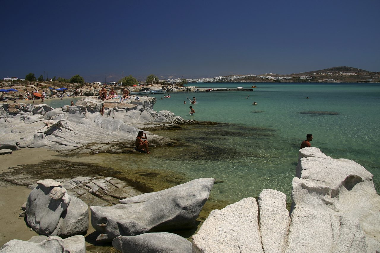
Meltemi options
Beaches in Paros usually better when the meltemi blows
12 sheltered beaches in Paros, oriented away from the meltemi. Check live wind & waves on CalmBeach before you go.
- 12beaches
- 9organized
- 6with photos
The meltemi blows from N/NE, and the split shows up clearly in the data. Of the 39 beaches we have modelled, 20 take no open water toward N/NE; they cluster on the south coast, facing an arc of SE–W. The most reliable of them are listed below. The other 7 sit wide open to it.
The reason is the shape of the coast itself: these beaches have land behind them on the side the wind comes from. They are not necessarily enclosed bays — they simply sit in the wind shadow of the shore opposite.
The trade-off, plainly: the same south coast is open to the opposite wind. On days the wind swings from the south, the shelter reverses and the far side is the better call. So this list narrows the choice — it does not replace the forecast; check live wind and waves on the beach page before you go.
The beaches
The order is not random: first the bays whose orientation turns their back on the most wind directions, and among equal ones the beaches more people actually visit. Orientation is the shape of the coast, not a forecast — check wind and waves before you go.
-
 Farangas
The cove among the rocks — On the south coast, a cluster of beaches: one large sandy beach and two smaller coves, divided by rocky outcrops that reach the sea. The name evokes…
-
Mikri Santa Maria
The small cove next to Santa Maria — Mikri Santa Maria is the smaller cove on the same north-east coast as the big Santa Maria, separated from it by a rocky spit.
-
Martselo
Ten minutes north of town — Martselo is the next sand along from Parikia, with tamarisks at the back and water that deepens slowly — which is why families fill it.
-
 Livadia (Parikia)
Parikia’s own beach — Livadia is the sand that starts a few minutes’ walk from Parikia harbour — the choice for anyone with an afternoon ferry and no time to go further.
-
Paralia Alyki
The village next to the airport — Aliki is the second-largest seaside village on Paros and sits next to the island’s airport — one of the few Greek beaches where you watch the small…
-

-
.jpg&width=400) Tourkou Ammos
Tourkou AmmosInside the Agios Ioannis Detis park — Tourkou Ammos lies on the peninsula north of Naoussa, inside the Agios Ioannis Detis environmental park — you walk in on the park’s paths rather than…
-
Dryos
The winter anchorage — Dryos was once a winter refuge for caiques, thanks to its small enclosed inlet — the village grew up around that little harbour.
-

-
 Lolantonis
The bay below Aspro Chorio — Lolantonis is an enclosed bay on south-east Paros, below the settlement of Aspro Chorio, mixing sand, pebbles and rock.
Photo credits
- Farangas: Olaf Tausch, CC BY 3.0
- Livadia (Parikia): Σουζάνα Ιωακειμίδου, CC BY-SA 4.0
- Krios: Olaf Tausch, CC BY 3.0
- Tourkou Ammos: Thanas Todhe (Guri Q…, CC BY 3.0
- Navtikos omilos Parou: brunobarbato, CC BY 3.0
- Lolantonis: Roger Husvik, CC BY 3.0
Good to know
Which beaches in Paros may be better when the meltemi blows?
The bays listed here are shielded from the meltemi in the exposure model, so they may be more comfortable when it blows. Local conditions still vary, so confirm wind and waves before you go.
Does this guarantee low waves?
No. Shelter shows which coasts are shielded from a wind direction, not guaranteed calm or low waves. On strong-wind days follow local flags and check live wind and waves in the app.
When is the sea calmest here?
Across 12 of the beaches on this page, the open water in front of them is typically 0.79 m in June, 0.95 m in July and 0.96 m in August when the meltemi is at its strongest, and 0.88 m in September. June is the calmest month of the season. We calculate these figures ourselves from European Copernicus wave-model data at 4.2 km resolution. They describe the sea offshore, not the shelter of an individual cove — a bay protected by a headland will usually be calmer than this.
How warm is the water, month by month?
Off 12 of the beaches on this page the sea is typically 18.9 °C in May, 22.2 °C in June, 23.8 °C in July, 24.4 °C in August and 23.9 °C in September — ideal at the height of summer, mild in June. By October it is 21.7 °C. August is the warmest month. Satellite measurements, 1995–2024, from a sea cell about 5 km offshore; shallow bays usually run warmer than this.
Wind and waves change every day. See live conditions for any of these beaches before you drive out.
Open the live map →